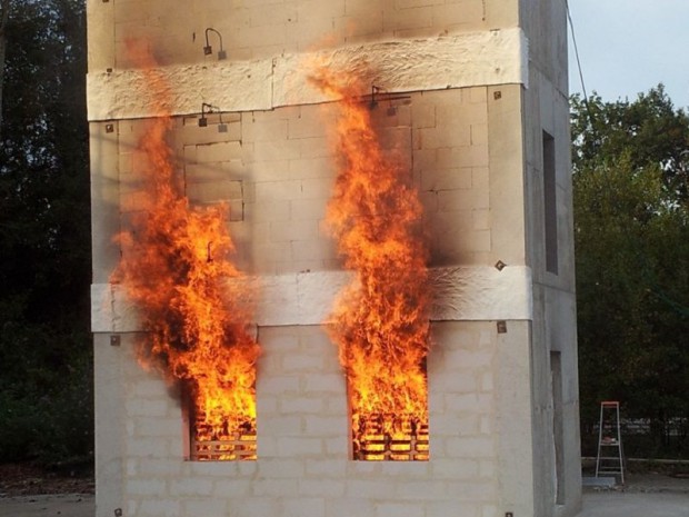
Forest fire management represents a crucial challenge in the face of environmental difficulties and the consequences of climate change. Recently, a new database has been developed, including accurate information on weather conditions, vegetation, and fire history in various regions. This innovative tool aims to improve prevention and intervention strategies by providing up-to-date analyses and predictive models. Thanks to this approach, managers will be able to optimize resource allocation and strengthen the resilience of ecosystems against this growing threat.
Advancements from Oregon State University

Scientists from Oregon State University have developed a new database known as the Fire Program Analysis Fire-Occurrence Database. This enhancement was presented in a recent article published in the journal Earth System Science Data. This tool allows for improved prediction of the occurrence and spread of forest fires by incorporating hundreds of new environmental and social factors.
Features of the New Database
Since its creation in 2013, the database has undergone five updates. The current version includes fundamental data such as the location of the fire ignition, date of discovery, and the final size of the fire. The new improvements incorporate environmental and social variables such as:
- Topography and vegetation
- Social vulnerability
- Economy
- Proximity to the nearest road
Potential Uses for Land Management
The database enables land management agencies to make informed decisions, for example, to restrict access to public lands or limit campfires during certain times of the year. Electric companies can also use it to assess short-term risks and decide to implement power outages for public safety reasons. It is also useful for on-the-ground firefighters and crisis managers.
Improving Decision-Making Through Data
According to Erica Fleishman, a professor at Oregon State University, many current policies are based on intuition or emotions rather than objective evidence. The new database provides a way to increase the objectivity and validity of decision-making.
Research Team and Collaboration
The enhanced database is the result of work led by Yavar Pourmohamad and Mojtaba Sadegh from Boise State University, with contributions from multiple researchers across various institutions. By integrating over 270 new attributes, this database now covers information on 2.3 million fires in the United States between 1992 and 2020.
Impact on Populations and Ecosystems
The database also allows for the identification of the uneven effects of forest fires on different human populations and ecosystems. This can help inform efforts to reduce inequalities.
Integration with Artificial Intelligence
According to Erica Fleishman, the database can be integrated into models of artificial intelligence and machine learning to explain the causes of past fires, project probabilities, or describe the effects of future fires. This in-depth analytical capability allows for numerous questions to inform different actions across various regions.
Collaboration and Funding
The co-authors of this scientific article include experts from Boise State University, The University of Montana, University of California, Irvine, and several research stations. The project was funded by the US Forest Service and the Joint Fire Science Program of the U.S. Department of the Interior.
Use of Data by Electric Companies
Electric companies can assess short-term risks and decide to implement measures such as power outages for public safety reasons.
| Features | Uses |
| Topography and vegetation | Assess potential fire spread |
| Social vulnerability | Inform fire prevention policies |
| Proximity to roads | Plan interventions and access for emergency services |
| Economy | Assess the economic impact of fires |
Journal Reference:
Pourmohamad, Y., et al. (2024) Physical, social, and biological attributes for better understanding and prediction of forest fires: FPA FOD-Attributes dataset. doi.org/10.5194/essd-16-3045-2024

Incendies: le Var, en alerte rouge, interdit l'accès à ses forêts pic.twitter.com/pWHAziGqoX
— BFMTV – Matinale (@PremiereEdition) July 17, 2024
Articles similaires
Thank you!
We will contact you soon.


